

Open Your Home
Mark 2:13-17
MAP OF FIRST CENTURY PALESTINE UNDER ROMAN RULE
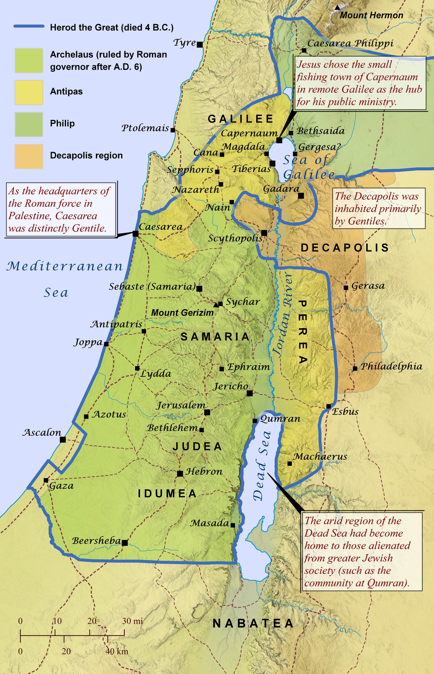
[Map by David P. Barrett (c) 2023 from biblemapper.com]
In the map you can see Herod the Great's kingdom divided between his sons into three territories. You will notice that Capernaum is the nearest town to the border in Antipas' territory. Roman roads are marked by the red dotted lines. The line running through Capernaum is a main highway called the Via Maris. Below you will see pictures of what this highway now looks like as it runs through countryside in the hills and the ruins of Capernaum sitting right on the edge of the Sea of Galilee. It is somewhere in this town that Jesus and his disciples reclined at the table with tax collectors.
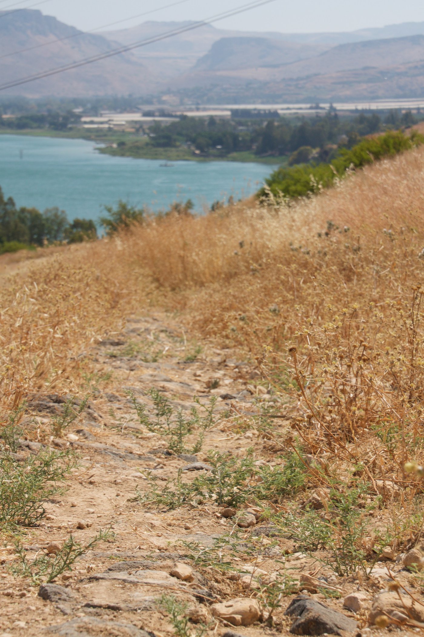 Stone pavers remaining from the Via Maris Highway in the countryside above Capernaum.
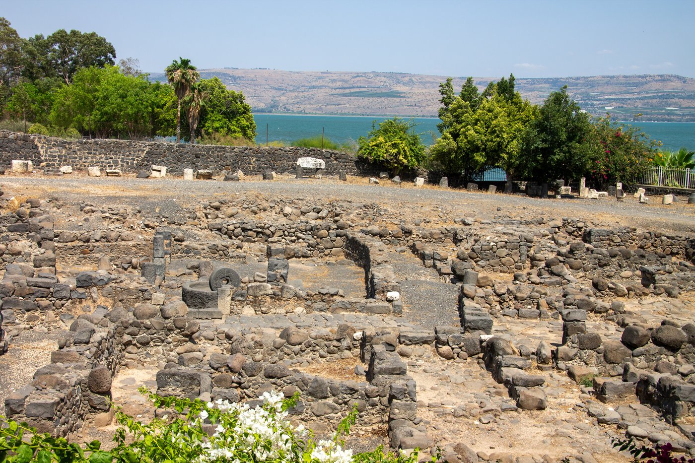 Remains of the village of Capernaum beside the Sea of Galilee